


3
Your rating:
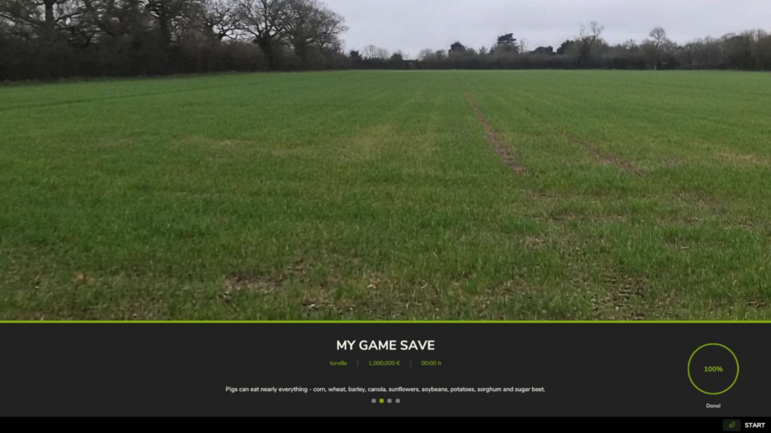
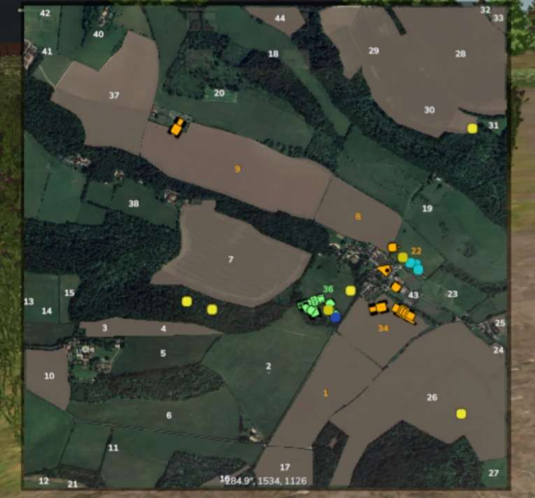
Turville demo only v1.0 fs25-mods
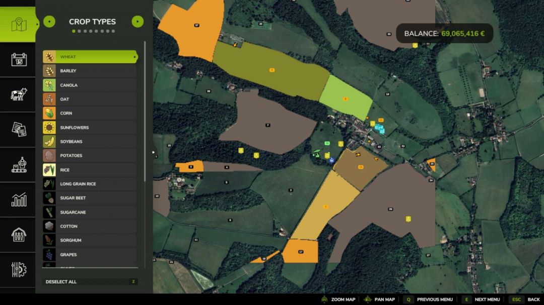
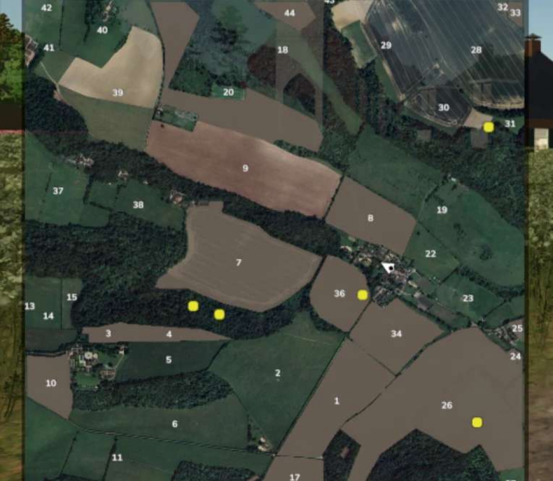
Terrain Data: High-resolution UK England DGM1 (Lidar) ?Data License: Contains public sector information licensed under the Open Government Licence v3.0. ?Tools: Maps4FS 25 Miles
![]() 250.51 MB
250.51 MB
×
![]()
Description:
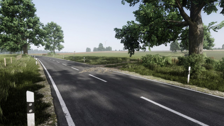
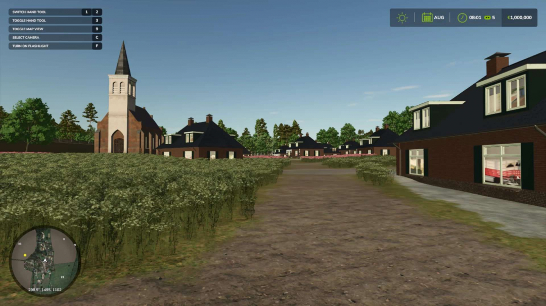
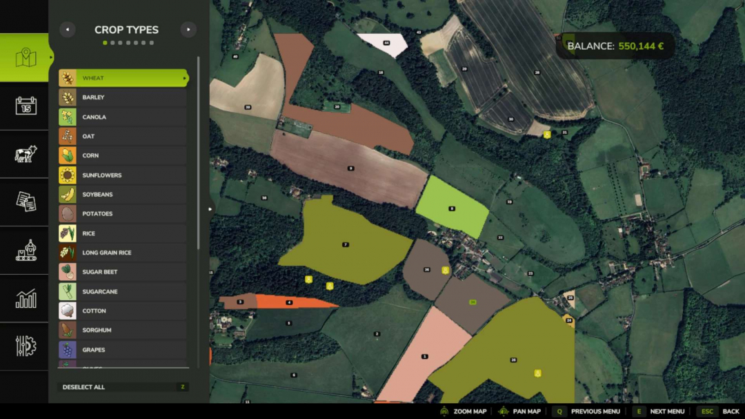
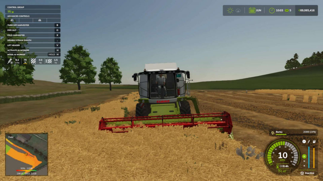
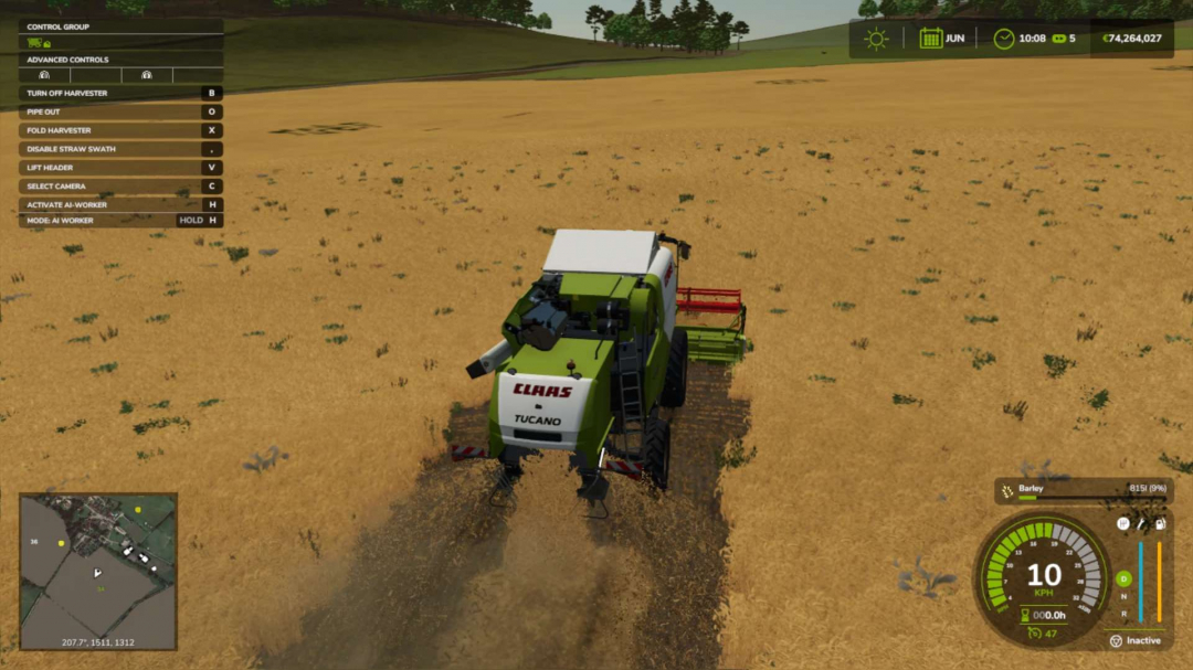
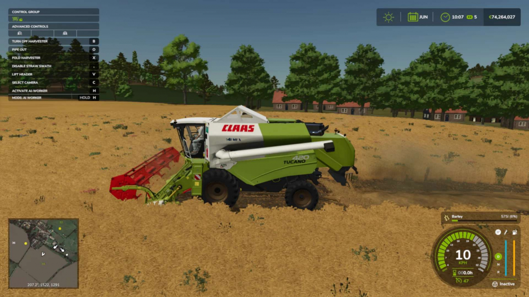
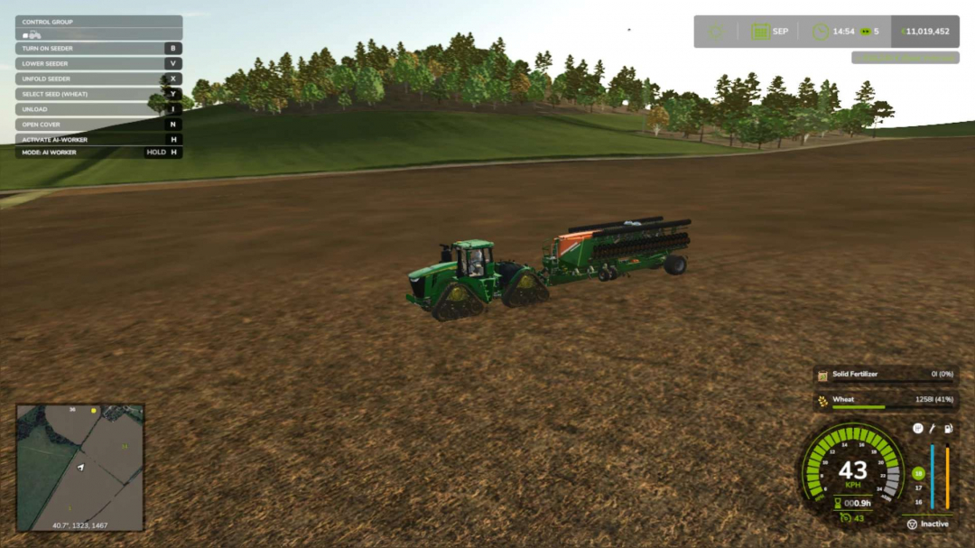
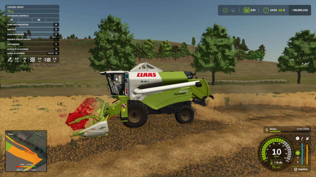
Realistic UK hills, designed for the demonstration occasion of the famous TV show in the UK, still in development. Terrain Credits: This map features a realistic 1:1 scale terrain based on high-resolution UK England DGM1 data. Contains public sector information licensed under the Open Government Licence v3.0. Base map generated using Maps4FS 25.
Comments:
Login to place a comment: Login