


3
Your rating:
The small European town v1.0.0.0 fs25-mods
jetttomas michalak
![]() 1.28 MB
1.28 MB
×
![]()
Description:
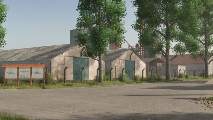
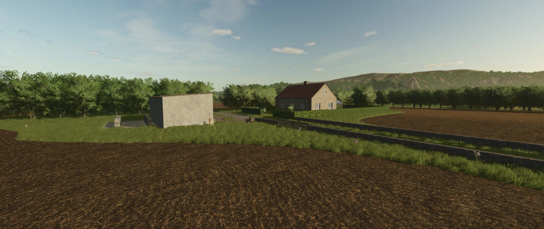
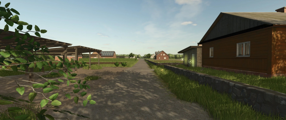
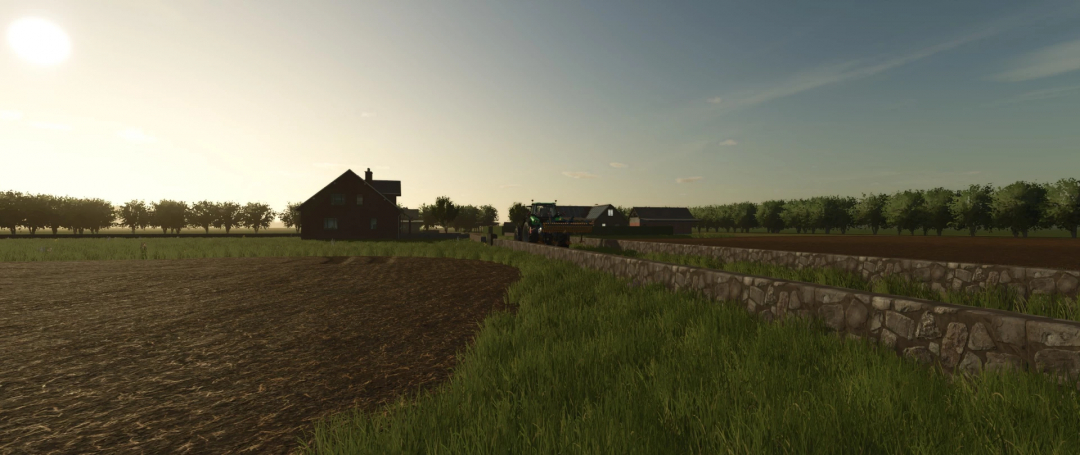
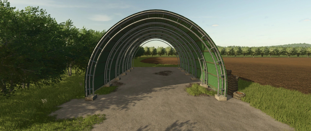
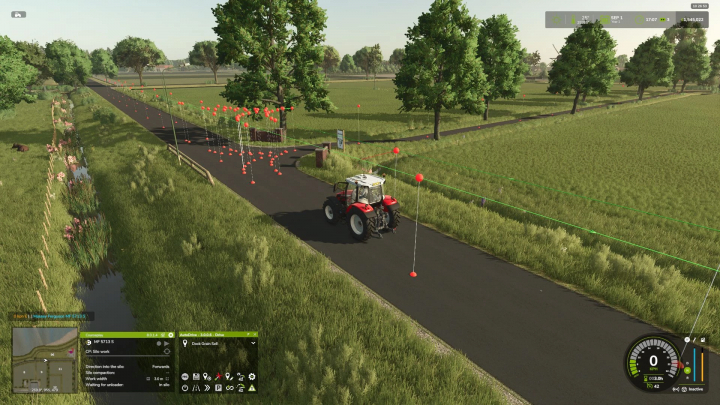
The map features a quaint European town with 7 crop fields and 3 grass fields. Please note that this map requires the store delivery mod.

Comments:
Login to place a comment: Login
Robbie
09 Feb 2025
The small European town fits great in my setup, perfect for diverse crop rotations!
React
TractorKid154
09 Feb 2025
Really like this one!
React